
The WHPARA Area
Our area covers the CA7 Whitehall Park Conservation Area, which lies immediately below the Highgate-Hornsey ridge, along which runs Hornsey Lane east of the Archway bridge. The area slopes considerably, falling from north to south and includes a variety of properties with differing architectural qualities and styles. Most of the streets south of Hornsey Lane were laid out as a late Victorian residential estate, following the contours of the slope, but in Hornsey Lane, Dresden Road and Hazellville Road there are a few surviving Regency houses. The garage in Sunnyside Road was the coach house of a large mansion, long-since demolished.
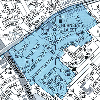
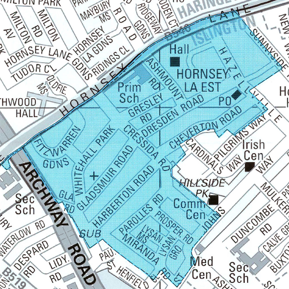
Whitehall Park itself was designated a Conservation Area in 1969; in 1992 and again in 2001 the area was extended considerably, including the so-called ‘Shakespeare Roads’ and Gresley, Dresden, Cheverton and Ashmount Roads. There are more details in Islington’s CA7 documentation and its Design Leaflet. For more details about the development of the area see the History page.